Drone Footage & Aerial Views
High-quality aerial documentation of the January 2025 Palisades Fire captured by drones, showing the scope and impact from above.
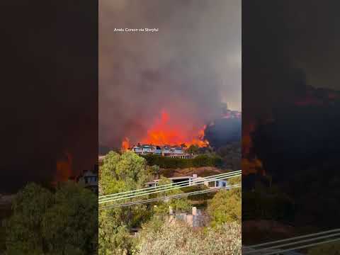
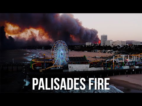
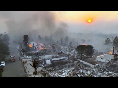
This collection features drone footage and aerial photography documenting the January 2025 Palisades Fire from above. These aerial perspectives provide unique views of the fire's spread, the scale of destruction, and the broader geographic impact across Pacific Palisades neighborhoods.
The archive includes both video footage and still images captured by aerial drones at various stages of the fire. From active flames and smoke plumes to post-fire damage assessment, these aerial views complement ground-level documentation and provide crucial perspective on the fire's full scope.
Related Collections
Photo Archive
Comprehensive collection of thousands of photos documenting the fire and its aftermath
Before & After
Visual comparisons showing the transformation of Pacific Palisades neighborhoods
Video Archive
Video footage from residents, news media, and drone operators documenting the fire
Fire Destruction
Photos and videos showing the devastating impact on homes and businesses
Evacuation Documentation
Photos and videos capturing the urgent evacuation of Pacific Palisades residents